
Department of Geography
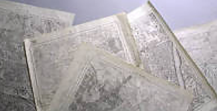
Geography aims to reconstruct and evaluate the changing processes between the physical environment and human activities on earth. For the basis of its research, this department has collected more than 60,000 sheets of maps, more than 100,000 prints of aerial photographs, and various kinds of geological samples. The maps comprise both pre-modern and modern versions, with the former including the seven sheets of Tadataka Ino’s “Maps of Japan” (scale 1:216,000), which he prepared following a land survey from 1800 to 1816. In the aerial photograph collection, a complete set of aerial photographs of Japan (about 20,000 prints) with a scale of 1:40,000, taken just after World War II, is available. Up-to-date aerial photographs—black-and-white ones with a scale of 1:20,000 and color ones with a scale of 1:10,000—have also been collected, of which more than 80,000 prints are available at present. Besides the maps and photographs, there are notable cores of coral reefs and coral annual bands, collected during the ongoing research in the Pacific, tephra from Japan, and other geological materials. They record various processes of environmental changes in the most recent geological past.
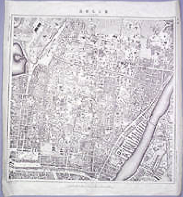 Collection of ca. 30,000 Japanese maps printed during a process of modernization in the Edo, Meiji, Taisho, and Showa periods |
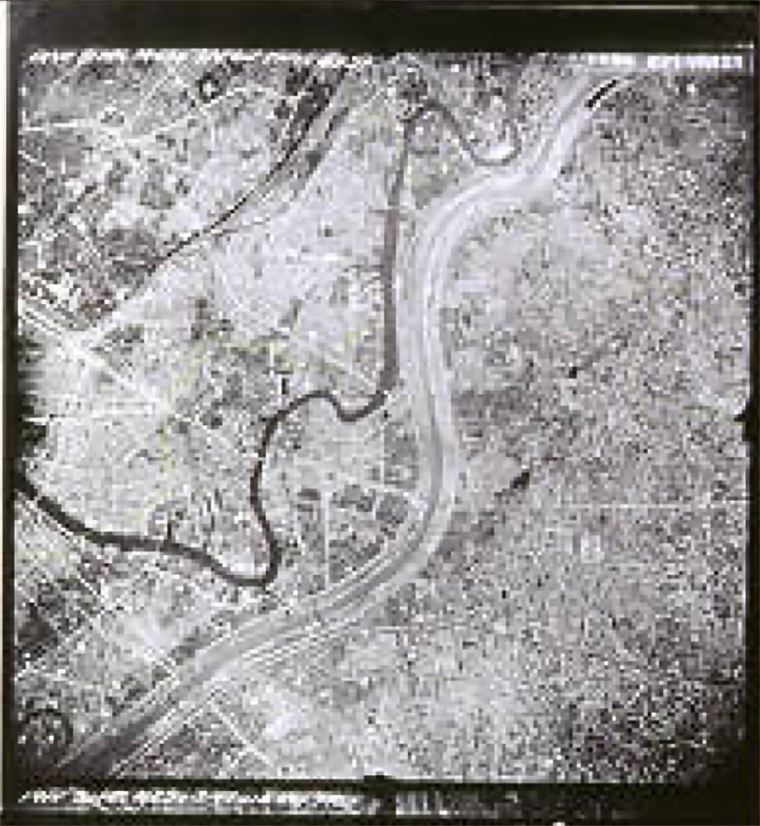 Aerial photographs taken to clarify earth surface land use, vegetation, biological distribution, and topography, including active faults, geological structures, and areas of collapse |
 |
Back to the Collection Division